Sehr schön, @CoMaps kann auch Navigation.
-
Sehr schön, @CoMaps kann auch Navigation. Da braucht man die Apps von Apple und Google noch seltener.
-
R ActivityRelay shared this topic
-
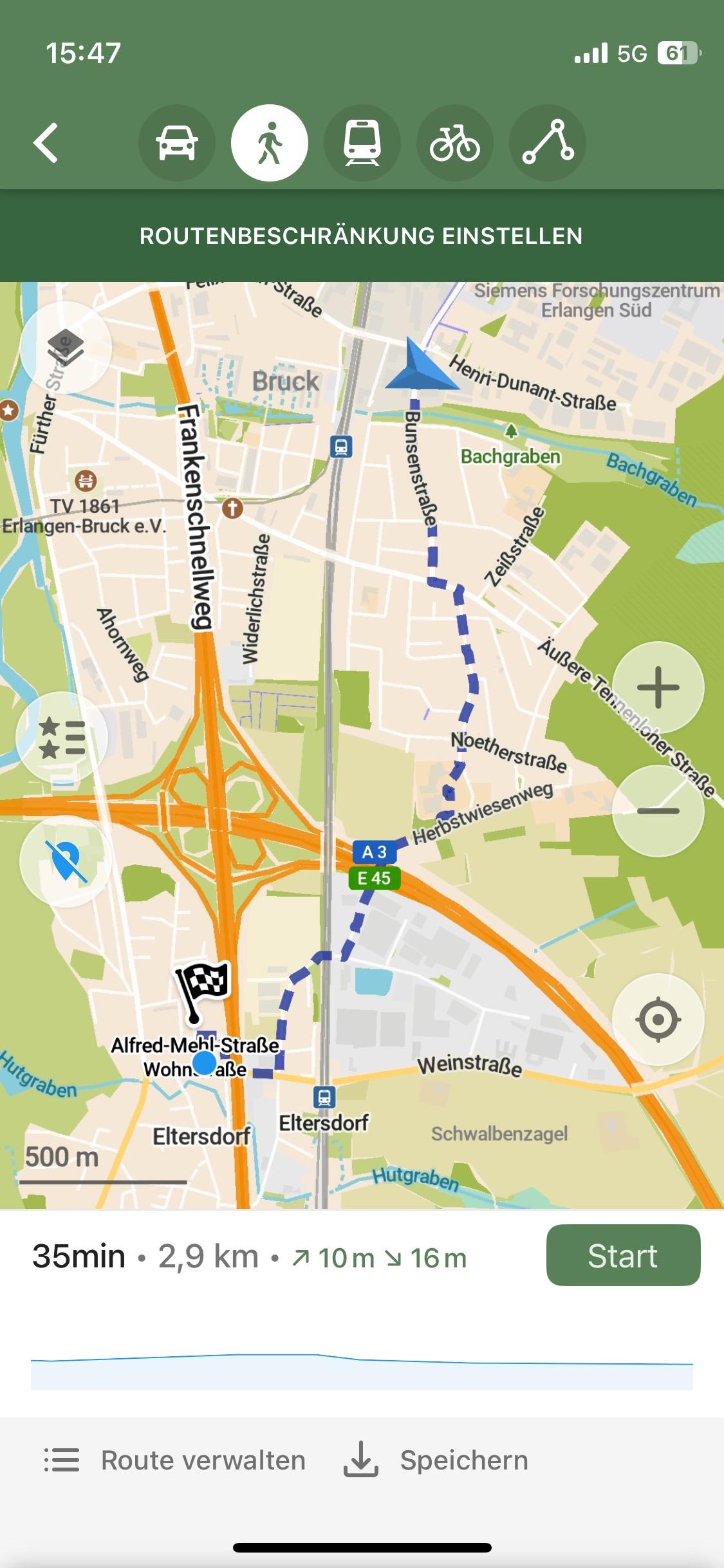
Sehr schön, @CoMaps kann auch Navigation. Da braucht man die Apps von Apple und Google noch seltener.
Es wollte mich über den Schulhof des Emmy-Noether-Gymnasiums leiten, was ein bisschen komisch war. Aber es macht Durchsagen und berechnet die Route neu, wenn man anders geht/fährt. Halt alles, was man so braucht.
Und vor allem hat es Offline-Karten.
-
Es wollte mich über den Schulhof des Emmy-Noether-Gymnasiums leiten, was ein bisschen komisch war. Aber es macht Durchsagen und berechnet die Route neu, wenn man anders geht/fährt. Halt alles, was man so braucht.
Und vor allem hat es Offline-Karten.
Ich musste diese Strecke übrigens nur zu Fuß gehen, weil der FUCKING SCHIENENERSATZVERKEHR AUF DEM RÜCKWEG NICHT IN ELTERSDORF GEHALTEN HAT weil dort gerade Kärwa-Umzug war, und in Eltersdorf mein Rad stand.
-
Ich musste diese Strecke übrigens nur zu Fuß gehen, weil der FUCKING SCHIENENERSATZVERKEHR AUF DEM RÜCKWEG NICHT IN ELTERSDORF GEHALTEN HAT weil dort gerade Kärwa-Umzug war, und in Eltersdorf mein Rad stand.
*Downloadgeräusch*